

snowhow freeride app for iPhone and iPad
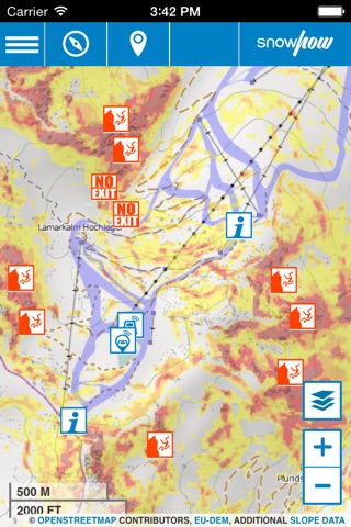
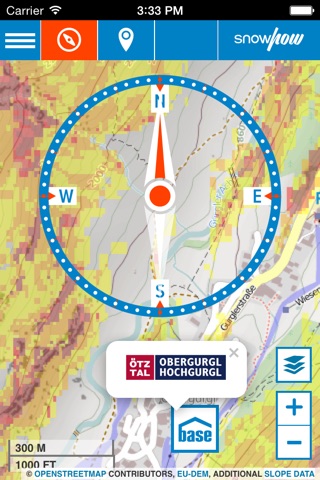
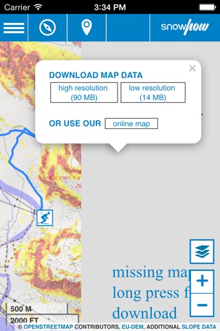
The SNOWHOW-Freeride App offers offline use of maps from Tyrol/Austria and Southtyrol/Italy. With an adjustable layer you can check the incline (steepness) of the slopes.
The slope incline is a key parameter for European decision making strategies in wintery and avalanche prone terrain.
The SNOWHOW-Freeride App is no substitute for any other tools of orientation and decision making and necessary safety gear. Shown tracks and map information are not recommendations for any terrain use.
Color coding for incline:
The color coding shows the steepness of the terrain in four sectors.
These sectors are used in decision making strategies in Europe. The knowledge and correct use of decision making strategies (see http://goo.gl/y5Rmx ) is essential to be able to use the SNOWHOW-Freeride App properly. If you are not familiar with any kind of decision making strategies or any other knowledge about decision making in avanlanche prone terrain, do not use the SNOWHOW-Freeride App.
Resolution and color coding:
Each color coded tile shows an area of 10 x 10 metres or real terrain. Keep in mind, that within 10 metres the steepness of a slope can change dramatically.
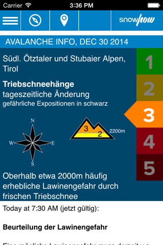
Weather data and Avalanche Bulletin:
If you go online with your smartphone, the SNOWHOW-Freeride App will automatically load the newest avalanche bulletin. The menu-feature shows you if your avalanche bulletin is up-dated (green button). If your avalanche bulletin is out of date, the button will be red.
This service is only available in Tyrol/Austria.
Continued use of GPS running in the background can dramatically decrease battery life.